709-218-7927 The Landfall Garden House 60 Canon Bayley Road CANADA A0C 1B0 |
|
|---|
.JPG)
Oxtongue River and Oxtongue Lake
Wednesday, August 27, 2008
Here's the plan;.
Leave early Thursday morning. Paddle the Oxtongue River. Go to dinner in Dorset or Huntsville.
Stay overnight. Thursday evening. $99 for a single room w/double beds. It's walking distance from where we launch to paddle the river so we check in then hit the water.
http://www.dwightvillagemotel.com
Friday morning I wouldn't mind paddling Oxtongue Lake (always wanted to go). I think it's a relatively small lake with another river heading North into Algonquin park.
All of the above is no more than 20 minutes from the motel.
220 km from Jane/Steeles
Maps
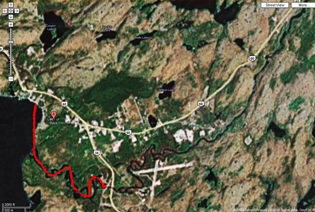
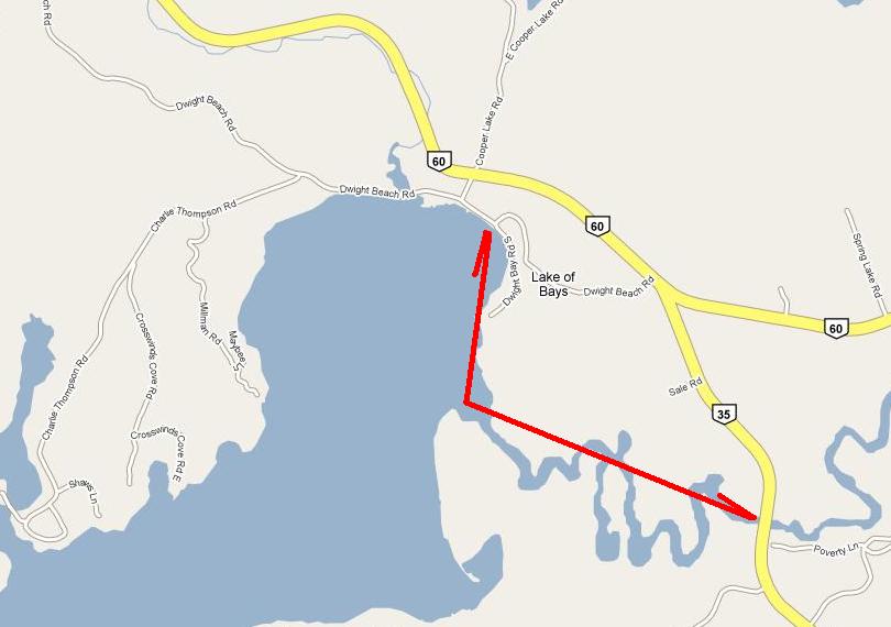
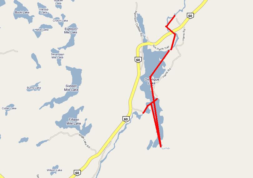
Above you see our short trip of Thursday, from the Dwight beach up the Oxtongue river to Marsh’s Falls, almost at Highway 35.
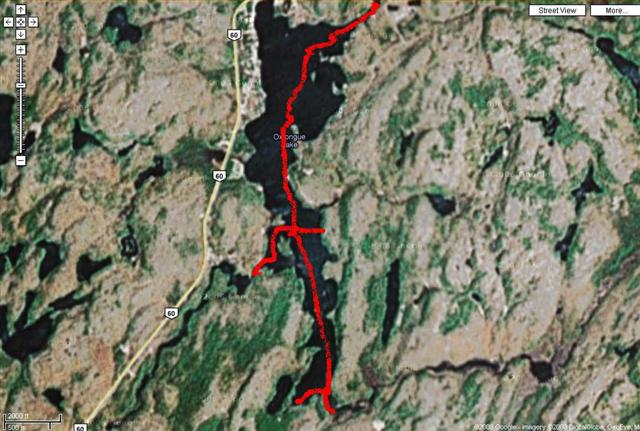
Friday we set off from the eastern shore of the lake, crossed over to explore the Oxtongue river outlet, then paddled to the southern end before returning northwards (see next map).
This continuation of the previous map sees us negotiate the bay at the northern end and paddle up-river as far as Ragged Falls.
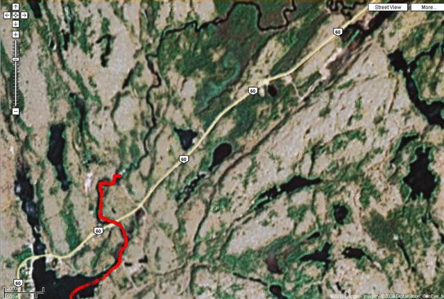
This map shows an area north of where we paddled. We did not reach this section.
Thursday, August 28, 2008
We left Jane/Steeles around 8:45 a.m. and drove up highway 11 in light traffic to Huntsville and thence to the Dwight Village Motel. It was walking distance to the water, but not a distance we would choose to lug a canoe, so after checking in, we drove a further kilometer or two to the beach and launched from there around 12:30.
Our first launch point was off Dwight Beach Road http://maps.google.com/maps?f=d&hl=en&geocode=&saddr=Jane+and+Steeles,+toronto&daddr=45.328677,-79.009809&mra=dme&mrcr=0&mrsp=1&sz=14&doflg=ptk&sll=45.329341,-79.010925&sspn=0.04242,0.075188&ie=UTF8&z=14
There is a sign “No boats”, but we figured that we were not a polluting motor-launch, just a harmless canoe, populating the beach for five minutes, tops.
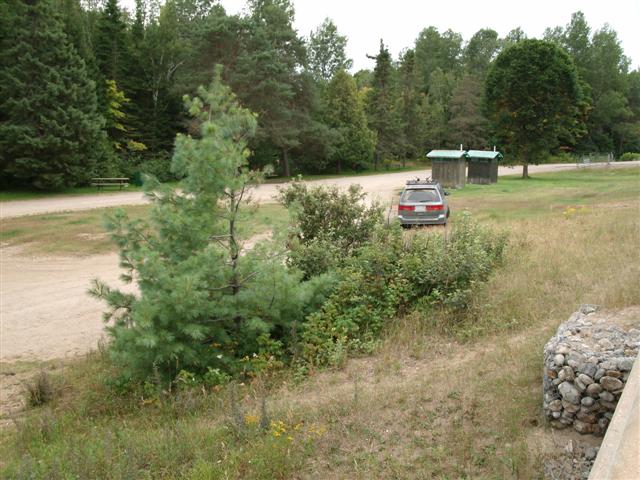
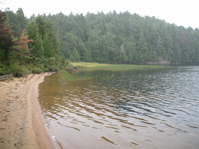
Good launch site. Here’s a view from the beach, looking at the car parked on the far side of Dwight Beach Road. Free Parking.
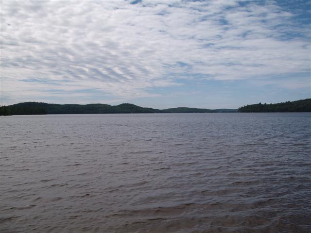
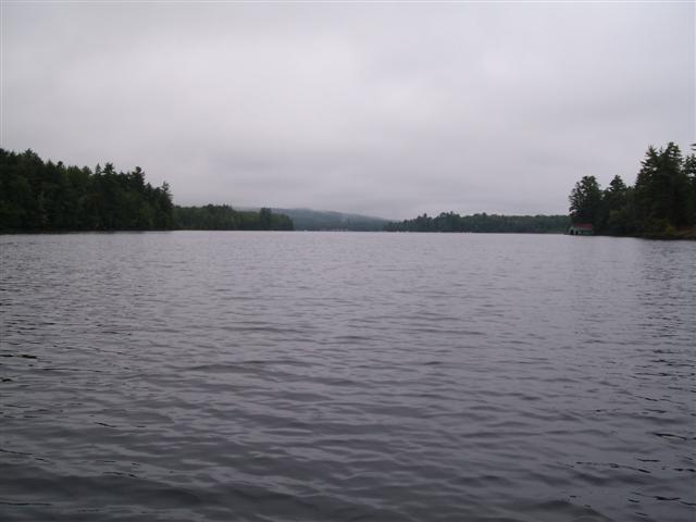
Here’s a view from the same spot, looking south across Lake Of Bays.
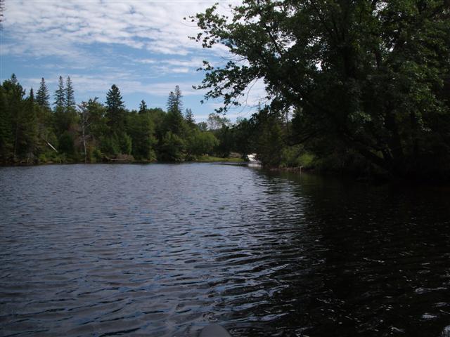
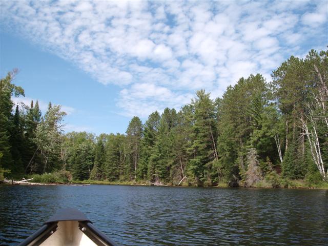
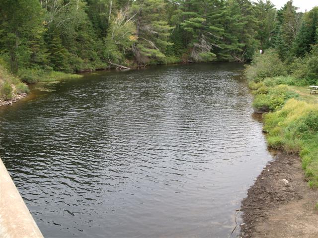
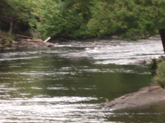
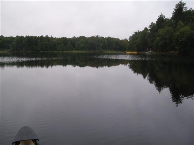
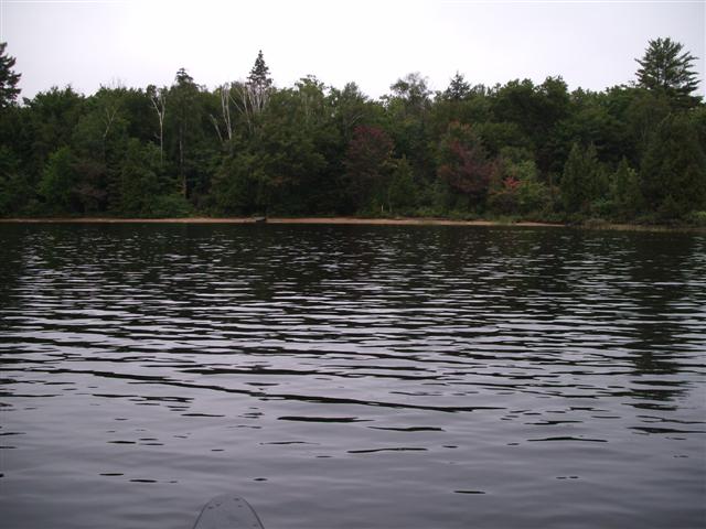
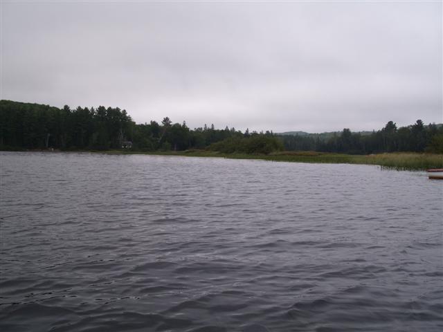
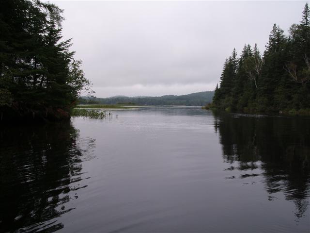
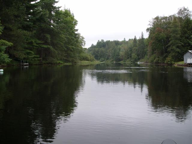
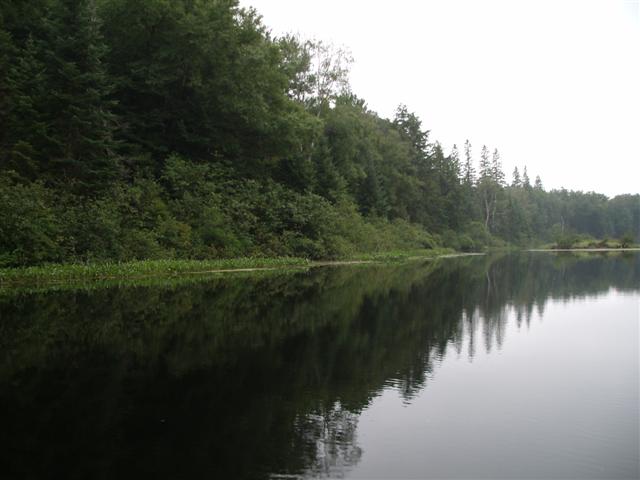
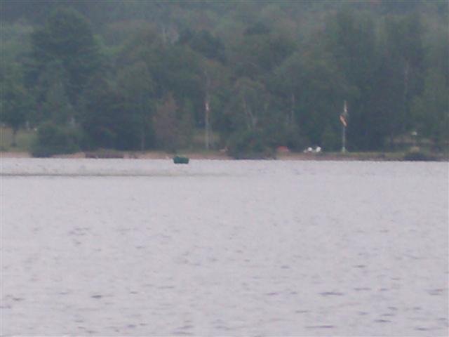
We paddled out in a south-easterly direction to the mouth of the Oxtongue river as it empties into Lake Of Bays.
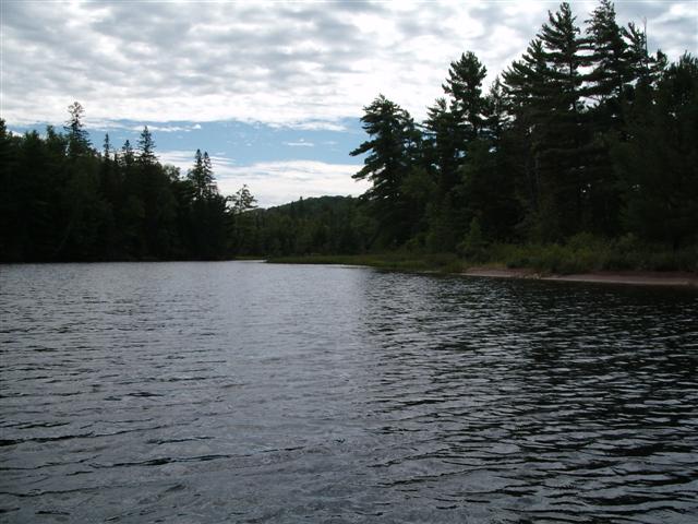
Here’s a view as we entered the river.
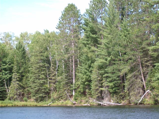
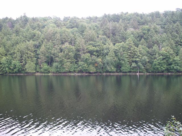
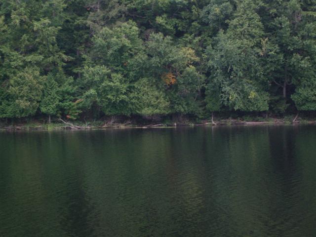
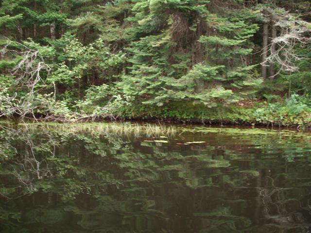
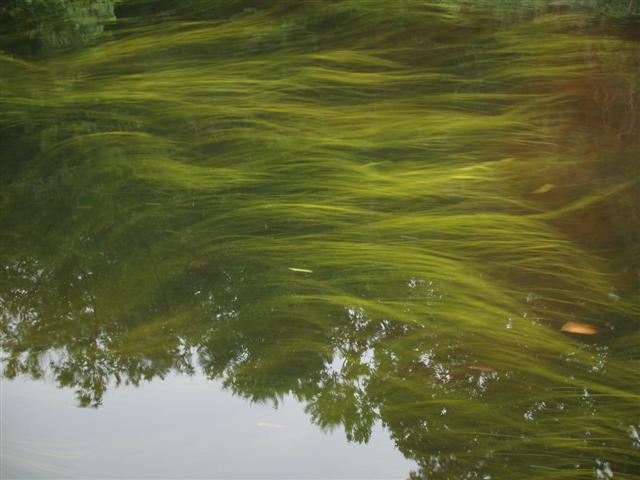
The river is placid, being effectively a part of the lake at this point. Small cottages and boathouses line the shore.
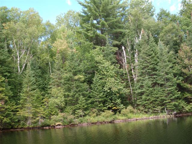
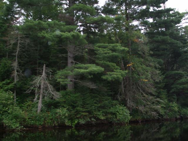
The tree growth is beautiful, with many shades of green.
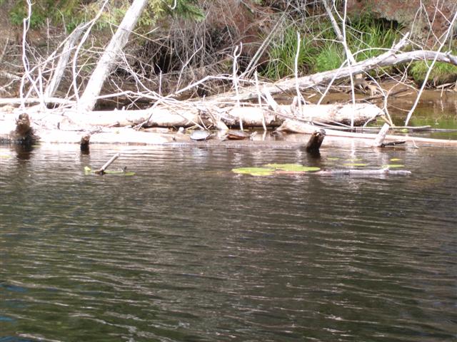
A couple in a canoe assured us that the falls (Marsh's Falls) were just twenty minutes ahead, but that there were turtles on a rock just around the bend.
We found turtles on a log, and that, at our rate of paddle upstream, the falls were more than twenty minutes away!
The shores give the appearance of meadow land, and I was expecting to see fat Friesians grazing contentedly; none were evident.
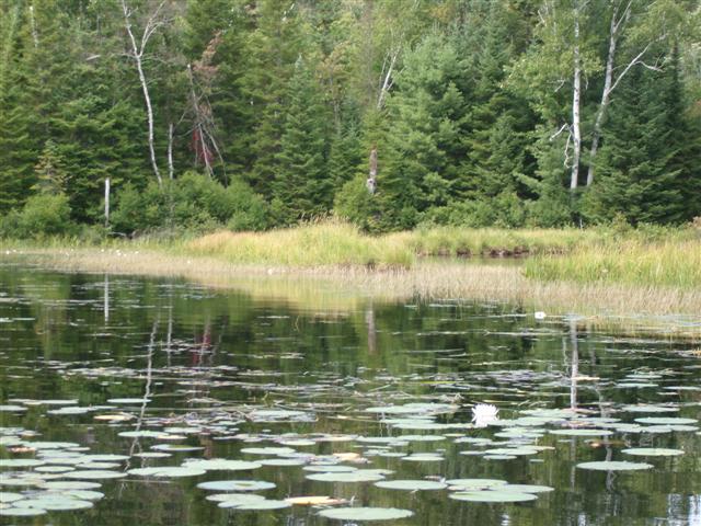
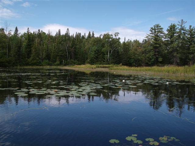
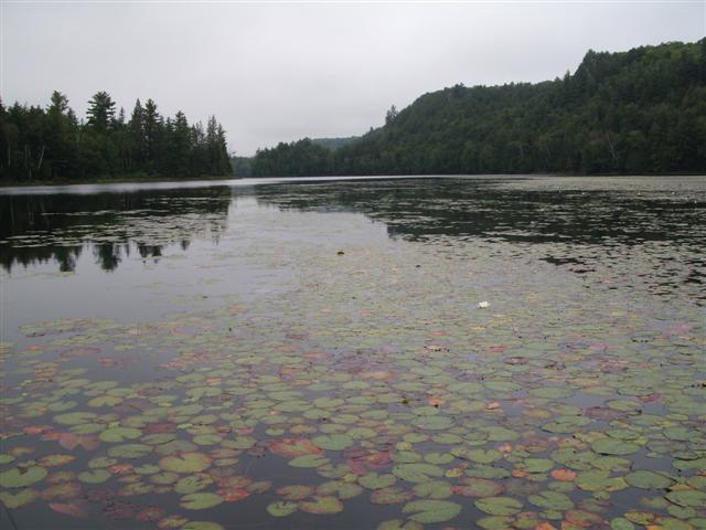
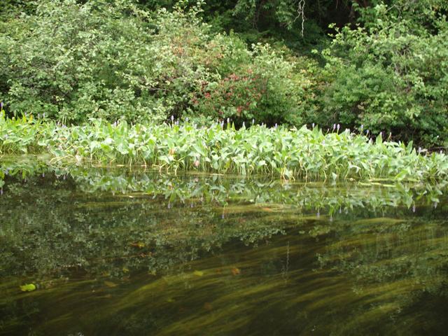
Lily pads and beautiful yellow-centered lilies dot the river’s surface
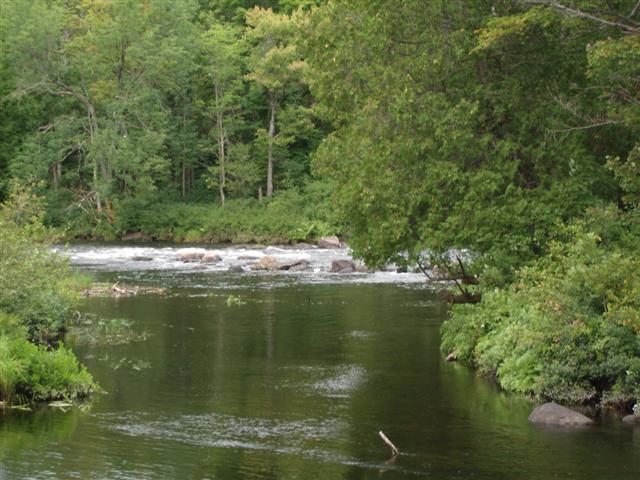
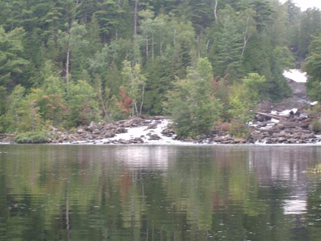
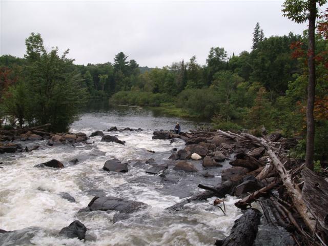
You’re thinking: “Suddenly around a bend …”, but it’s not true. We hear the river’s falls before we see them.
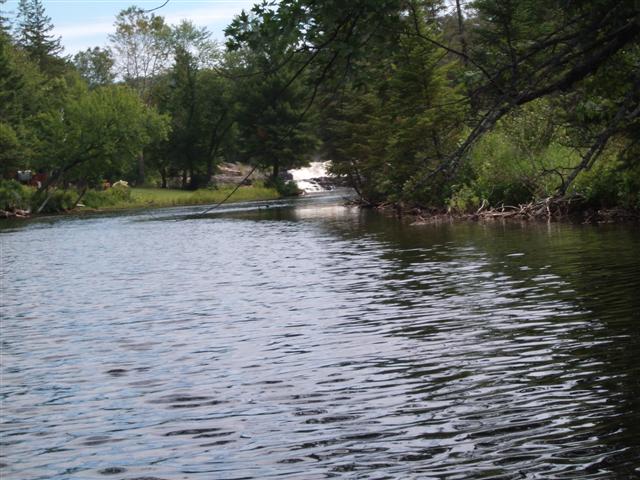
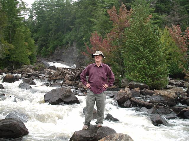
Nonetheless, as we draw closer we are more impressed with the power and beauty of the falls.
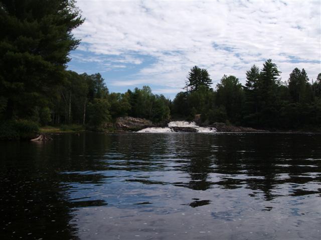
The falls descend in two major steps, the second level splitting into side-by-side falls.
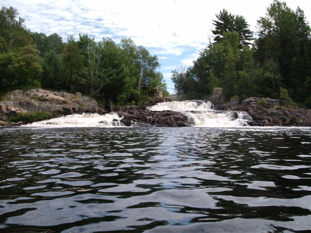
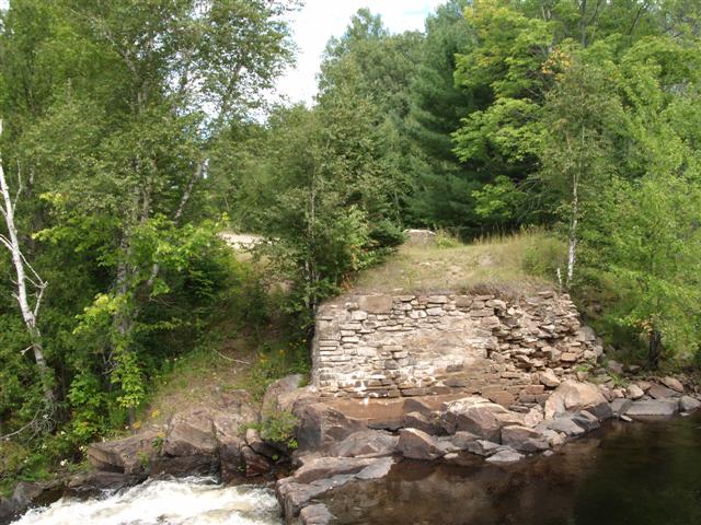
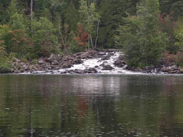
Here is a better view of the falls. For the first time you can see the old bridge abutments at both sides.
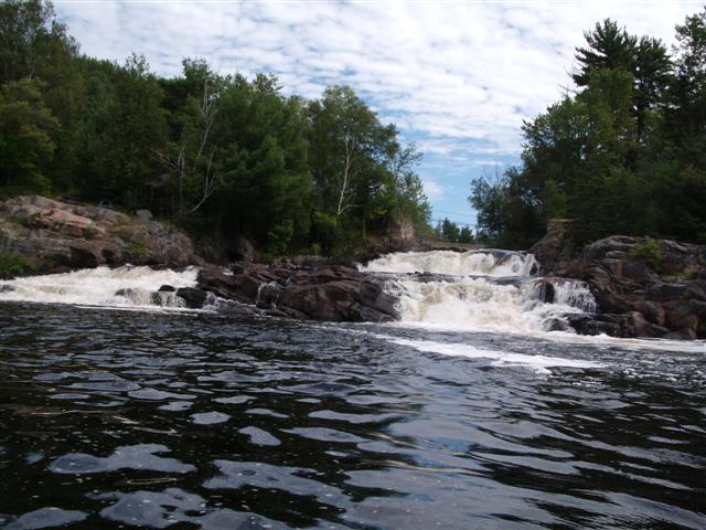
At this stage we were getting buffeted by the current, or I was shifting my seat for a better shot!
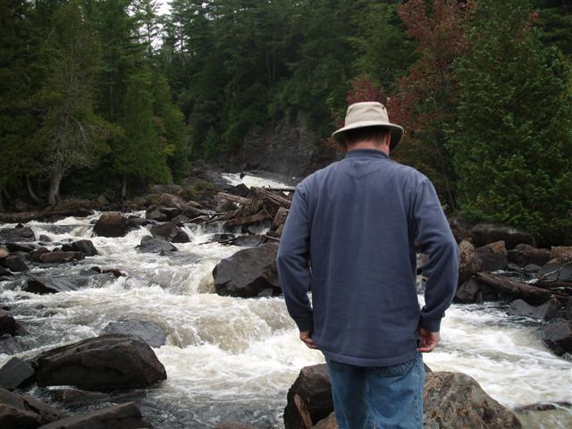
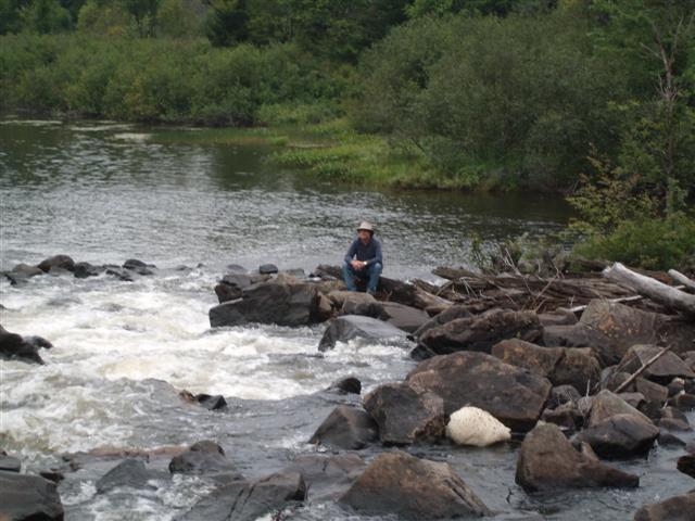
We beached the canoe and climbed the southern bank for a better view. Here we are looking across the river to the old road receding northwards.
http://images.ourontario.ca/muskoka/details.asp?ID=25238
http://www.start.ca/users/mharris/waterfalls/marshs-falls.html
Above are pasted some links to photos of the bridge. The first link shows the bridge as it appeared in 1951
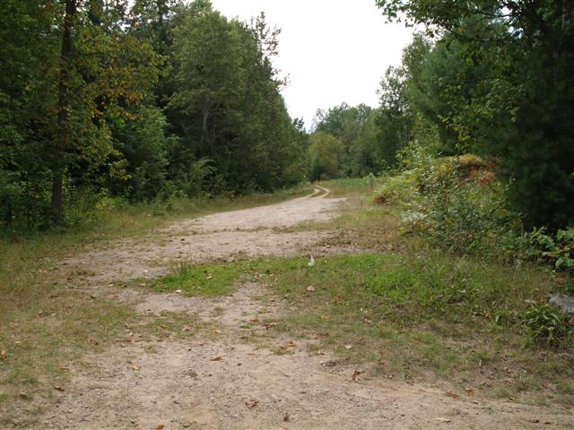
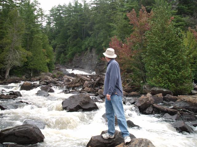
Turning around, here’s the approach from the south. Easy car access from highway 35, and Fred had brought me here a year or two ago. I remember him talking of wanting to do this stretch of the river to the lake, and wondering just what was upstream from these falls.
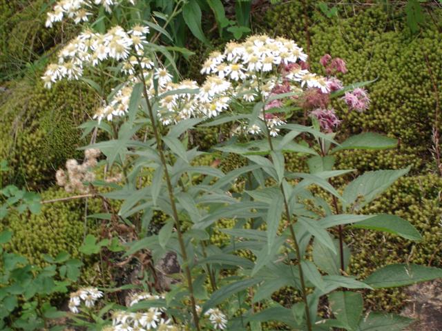
The wildflowers are pretty. This must be their last few weeks of storing food for seeds or roots for next year’s growth.
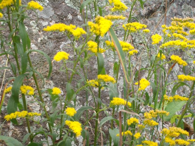
This shot and the next remind me of the wheat belt of Western Australia, where I grew up. The tall stringy weed has a stem structure and blossom that remind me of the golden wattle.
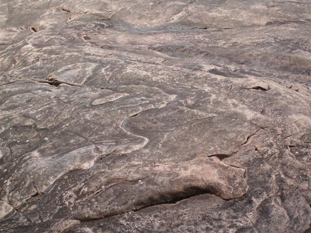
The granite rocks remind me of the outcrops in the wheat belt. Of course, we didn’t have noisy rushing torrents of water lapping their bases!
More brilliant colors.
… and so we set off back down the Oxtongue river to the mouth at the Lake Of Bays.
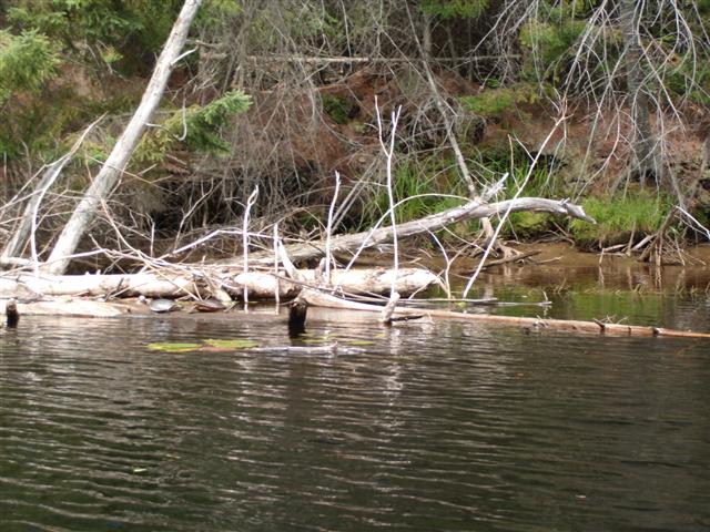
The river banks are lined with fallen trees.
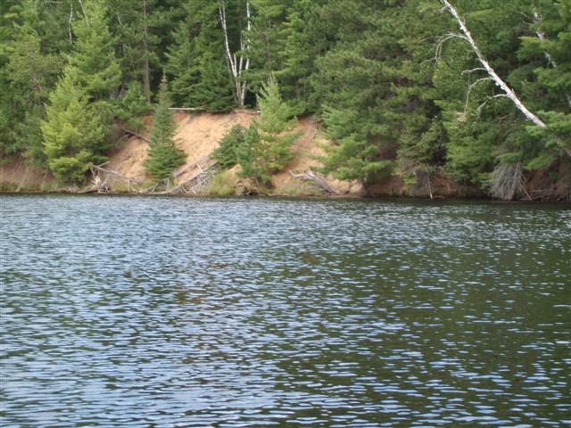
And steep sandy banks show why! This yellow sand is predominant in this area. I think of it as silica sand, again, like the wheat belt.
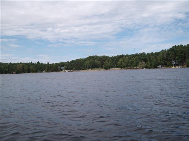
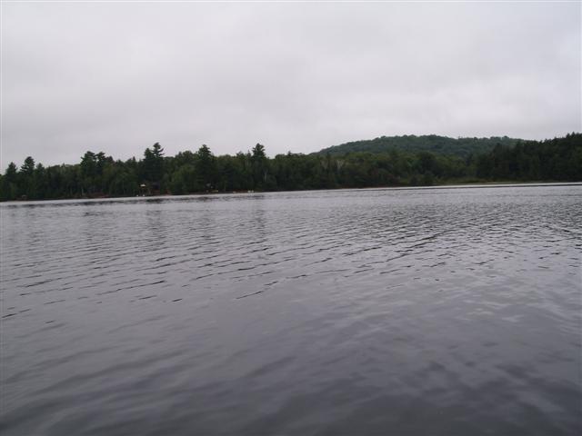
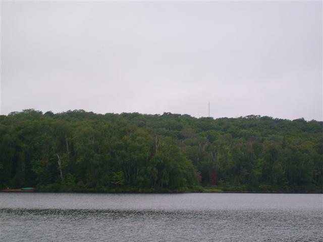
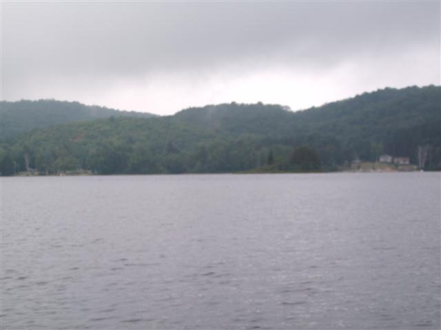
… and into the Lake Of Bays. That’s Dwight Beach in the distance, our launch point.
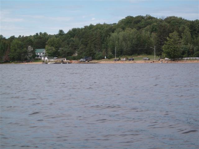
Good! The car is still there! Today is Thursday in the last week of school holidays. We are amazed at the quietness here. Here is a free clean beach with free parking, and almost no-one in sight.
Here in map form is our general route from this day.
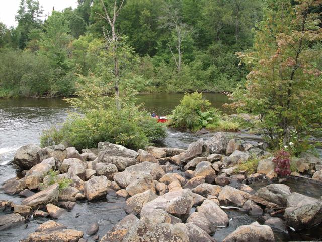
Yet another Boyne river can be found here (there is one up Orangeville way), so we inspected the creek, hoping for another route

Not very appealing (to us); weedy with a fair current. Perhaps it improves away from the bridge.
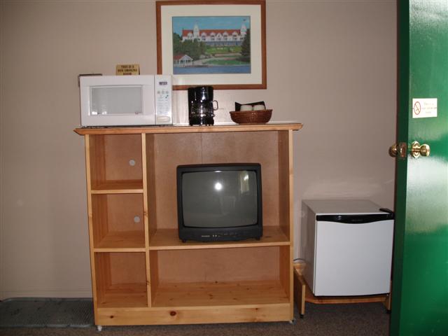
The Dwight Village Motel, by the way, was a treat. Small refrigerator and a microwave oven in the room. We stashed our lunches for Friday in the ‘fridge. Yes, there’s a coffee-maker. Had we wanted real cream we could have picked up a small carton and stored it overnight.
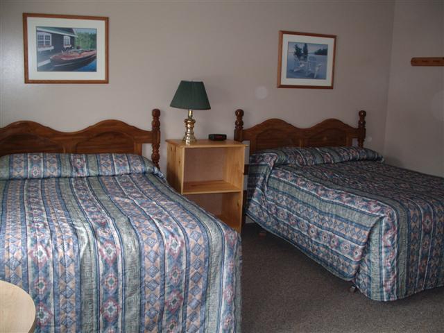
The room is fine; it’s a place to sleep, clean and tidy.
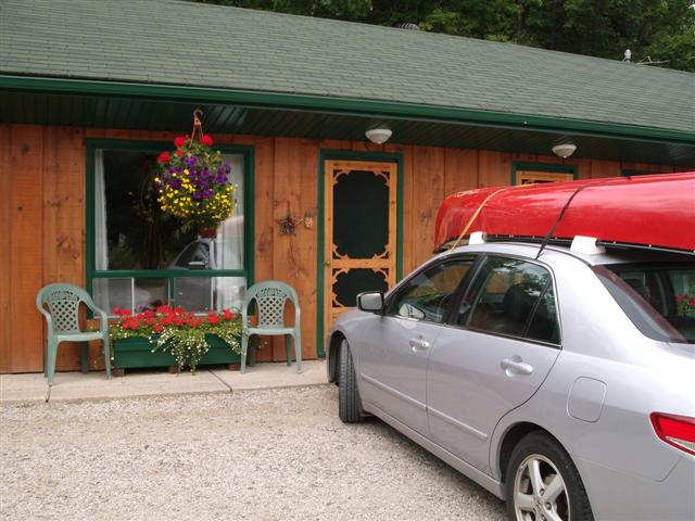
Flowers adorn the front. There is a faint air of Swiss about it all!
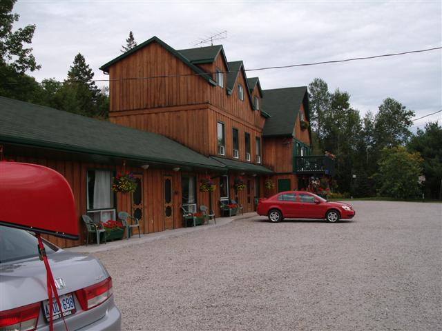
And you cannot miss the building from the road; it is three stories tall, on the north side of the highway.
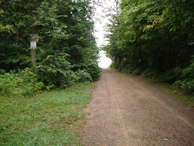
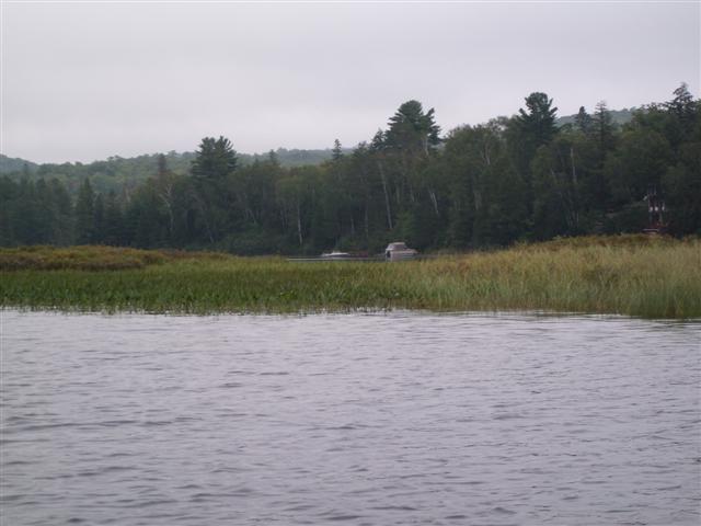
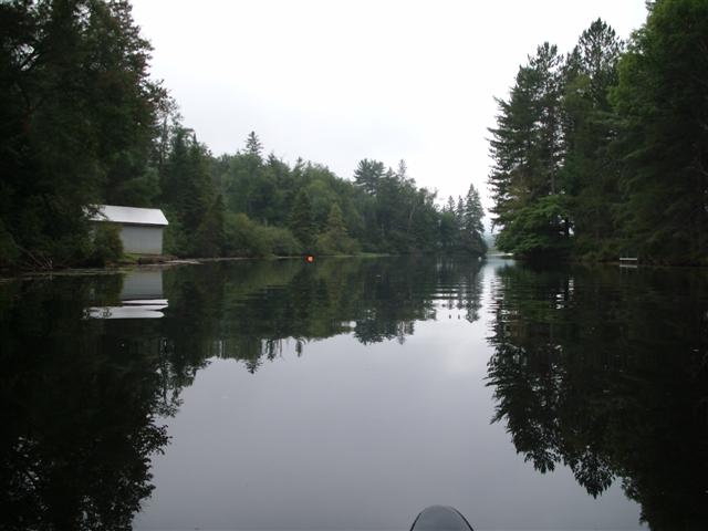
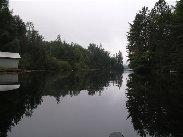
We set off by car looking for a launch spot for the next day, and after cruising around unsuccessfully, dropped in to one of the Algonquin Outfitters stores. At the north end of Oxtongue Lake.
It turns out that we had explored only one of two bridges. Algonquin Outfitters is on Algonquin Outfitters Road, immediately to the west of the first bridge. A second bridge, about a kilometer eastwards up Highway 35, provides a launch point, they told us.
Off the highway there is a large-enough parking lot and two toilets and a turning circle. Here’s a shot of our preferred mode of transport, taken from the bridge.
Here is a view of the entrance to the lot.
And this is a view of the launch point, looking at the Oxtongue River, downstream towards Oxtongue Lake. We resolved to launch from here on Friday, exploring both downstream and up.
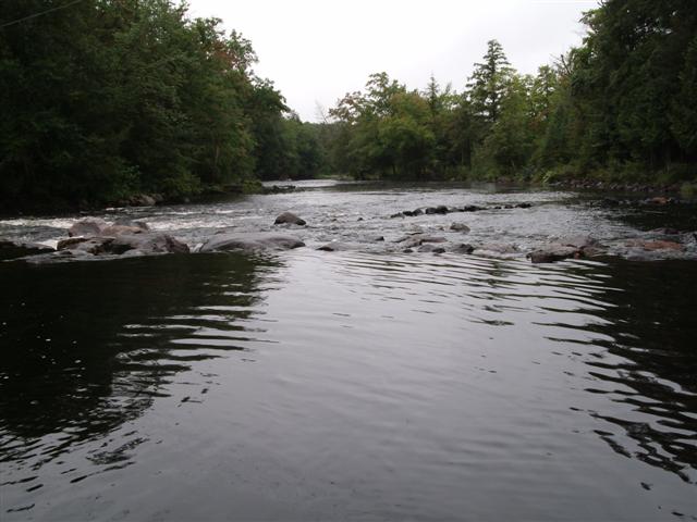
On the way back, driving along highway 60, we turned into Oxtongue Rapids Park Road. This road has two entrances on highway 60. We entered at the northern end.
Partway along is a bridge which crosses the river. At every point we could see, all we could see were rapids, and shallow ones at that, too.
This is a view taken from the bridge.
And here is a poor shot downstream. I am not shaking with fear!
Friday, August 29, 2008
We had purchased a topographical map at Algonquin Outfitters, and a close study of the map revealed another potential launch point off Harris Road.
Harris road runs south from highway 60, down the east side of Oxtongue lake. The north-west area of the lakeshore being built up with rental cabins, we were optimistic about the south-east shores.
After 2 km travel south down Harris road we come to Windy Point Road. No access to the lake from here; it is all built-up with cottages and private roads.
At the 4km point from the highway 35 we come to a public ramp. The track slopes down to the lake, with a concrete ramp, and a sign warning of a steep drop-off at the end of the ramp.
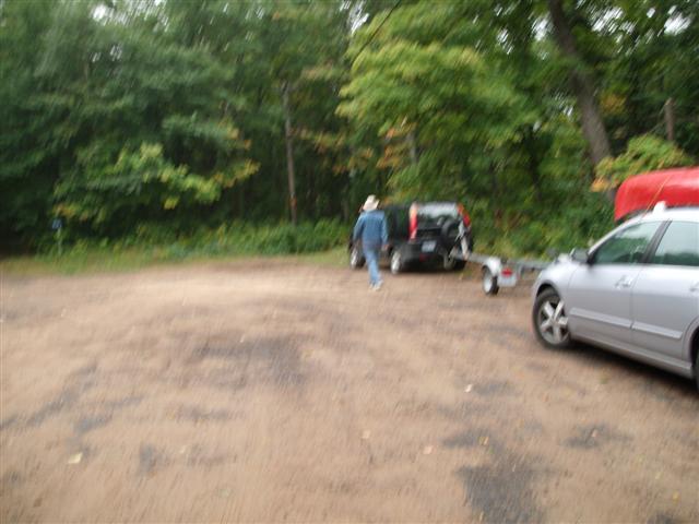
We press on to the end of the road, about another ˝ kilometer, and are rewarded with a large turning circle and another public access point. An empty boat-trailer is always a good sign!
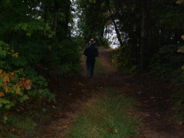
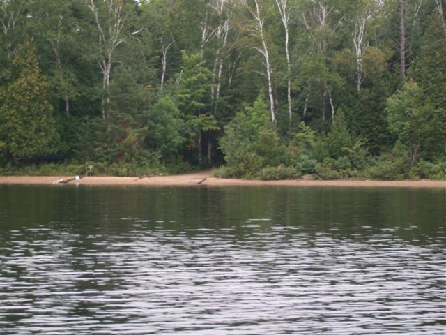
The sandy track slopes down between the scrub …
… and opens out onto a quiet beach. Our dreams have come true!
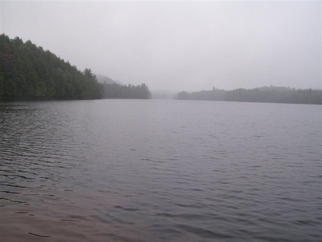
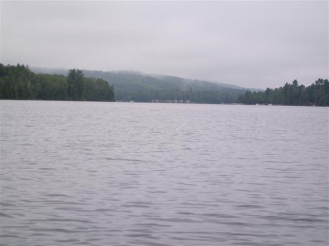
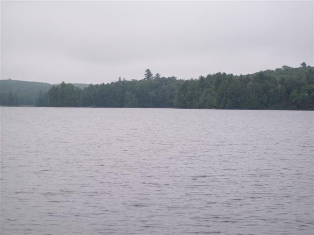
Mist shrouds the southern end of the lake. Throughout the morning I am led to believe that I am canoeing near Prince Rupert B.C.
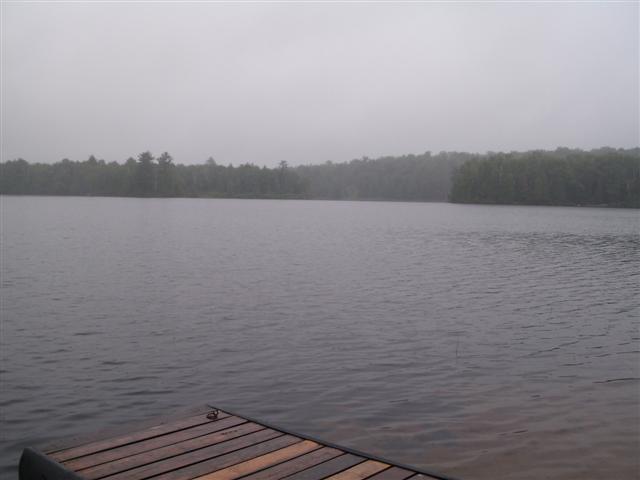
There is a miniscule but very useful floating jetty here.
Strange to see something so useful at such an out-of-the-way spot.
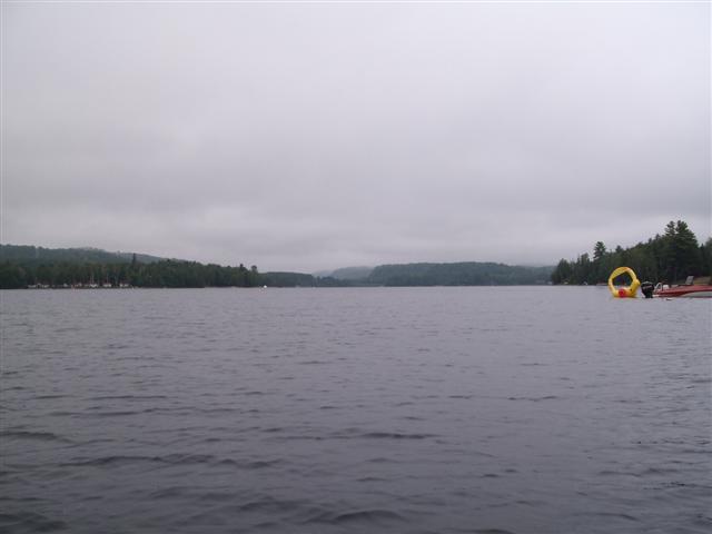
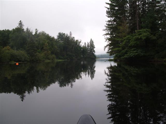
And so as we set off, heading across the Oxtongue Lake to the outlet into the Oxtongue River. We spy a bright-yellow barge.
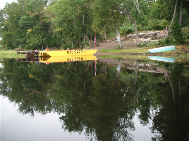
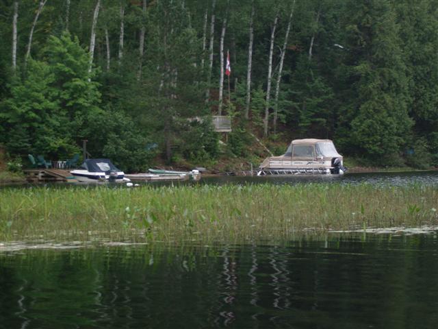
Down at this end of the lake, cottages are few and far between. We have located a potential cottage site. It just needs a large infusion of capital!
We creep towards the rapids that mark the start of the Oxtongue River outflow from Oxtongue lake. We learned yesterday that the stretch of the river is largely rapids, but if we were a small fish, we could continue downstream and end up at Marsh's Falls, where we were yesterday, and thence down into Lake Of Bays.
Here is a closer view of the start of the rapids section. A track called “Woods lane” leads off Highway 60 almost to this spot, although I doubt that one could gain access to the Oxtongue Lake.
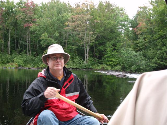
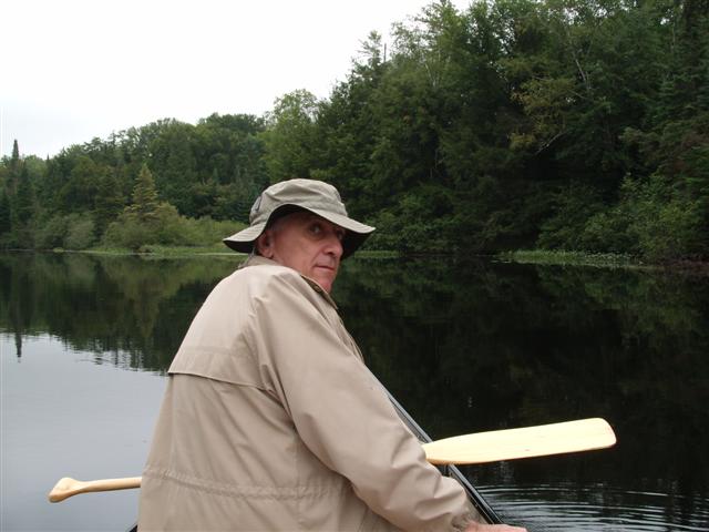
I am still taking practice shots with my camera. That’s Fred, tolerating my antics. Behind Fred are the rapids.
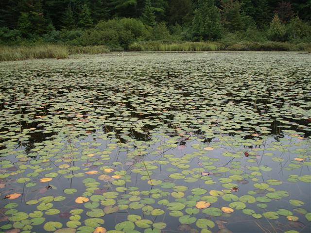
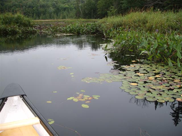
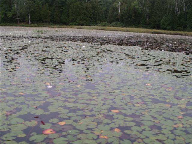
Large floats of water-lilies greet us as we make our way along the lake.
We set off out of the Oxtongue River along the lake, heading to the southern end.
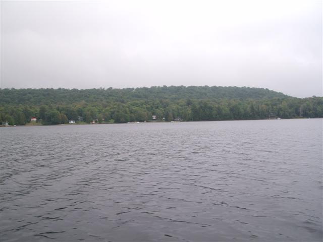
Cottages dot the shore. Most cottages are festooned with brightly-colored canoes drawn up on the beach. We se every few canoeists and no boaters.
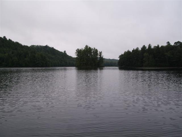
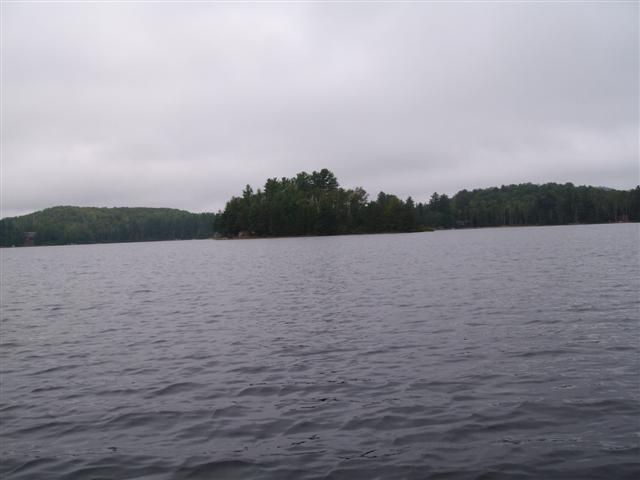
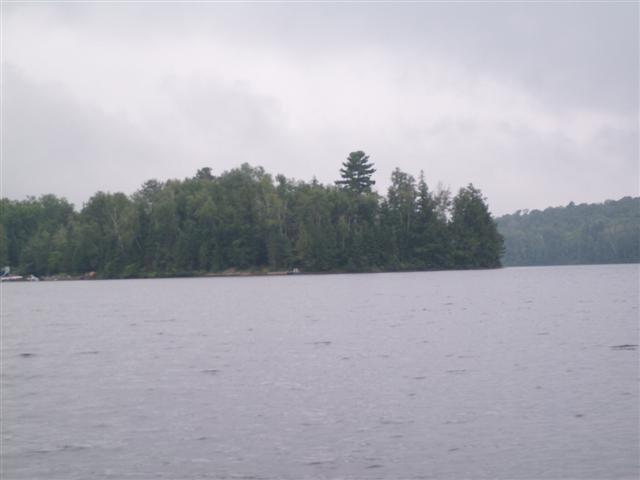
A couple of small islands sit in the lake.

This one looks as if it suffers from a pine tree over-population problem, with trees shouldering each other to maintain a foothold.
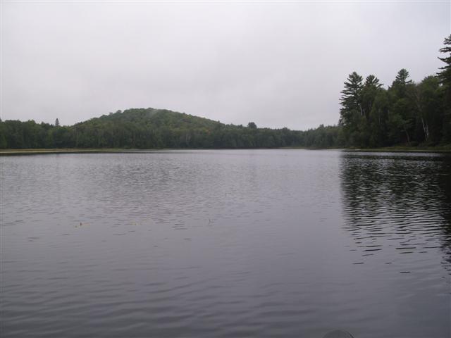
On we paddle. The morning is peaceful.
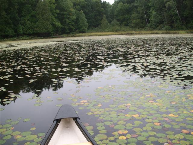
I love floating through the still rafts of lilies.
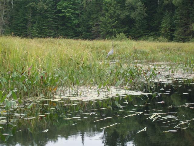
We saw very little wildlife on this trip. Here is the sole Blue Heron.
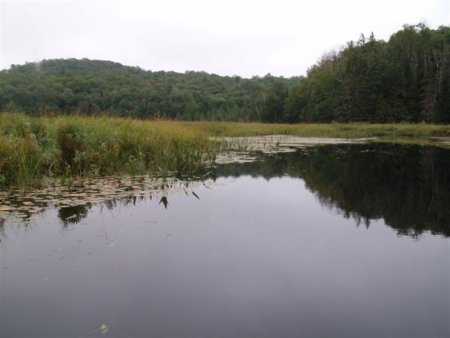
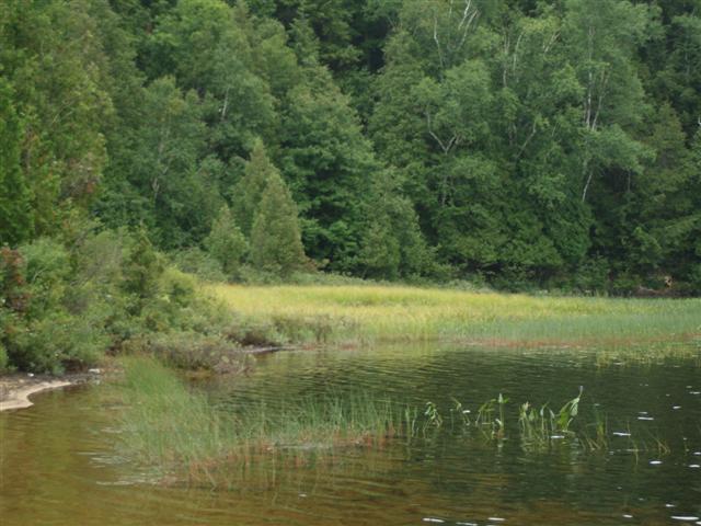
We entered the swap at the southern end of Oxtongue Lake.
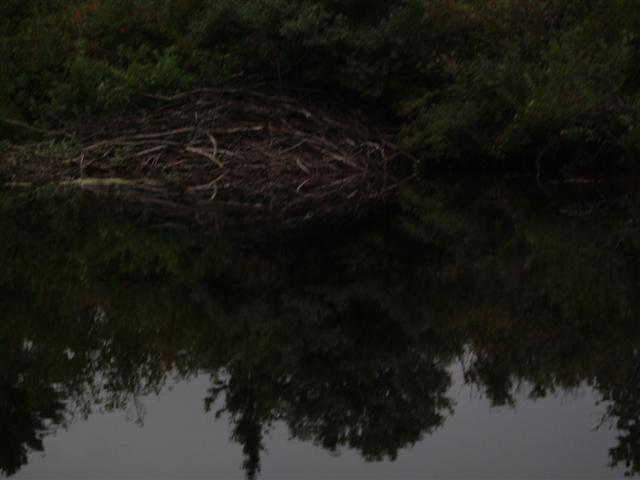
Fred figured that there must be a current for such a clear channel to be maintained.

And he was right(as usual). We came to a beaver dam that has elevated the rest of the swamp by a foot or so. To the right of the photo you can see some of the current ripples.
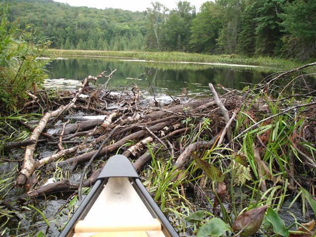
And here we are nosed into the dam. Water is streaming (literally!) from the center of the photo to the left and down one side of the dam.
Back into the serene lilies.
And we set off northwards, to return to our launch point.
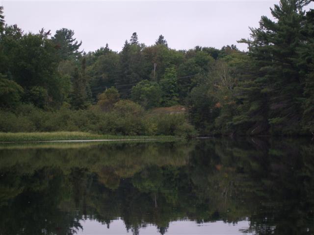
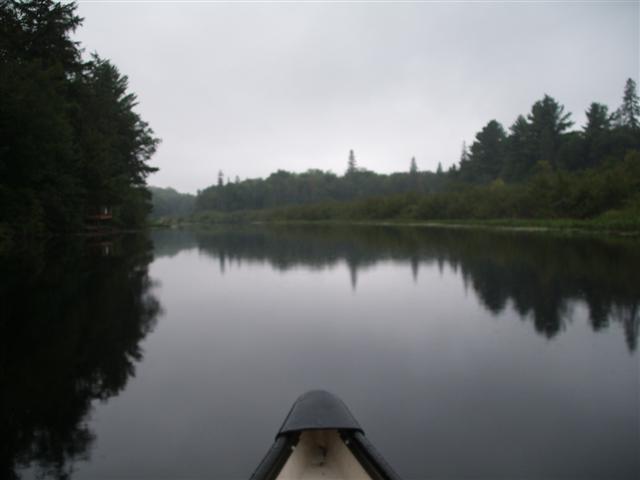
The low clouds persist. Excellent canoeing weather. No bright sunlight bouncing off lake ripples, blinding us from the view.
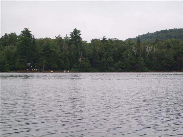
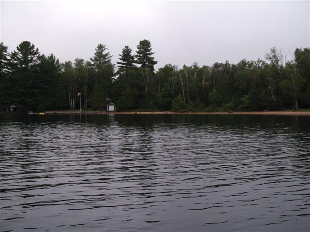
Away in the distance we spot one of the many sets of cottages that line the north-eastern shore of the lake.
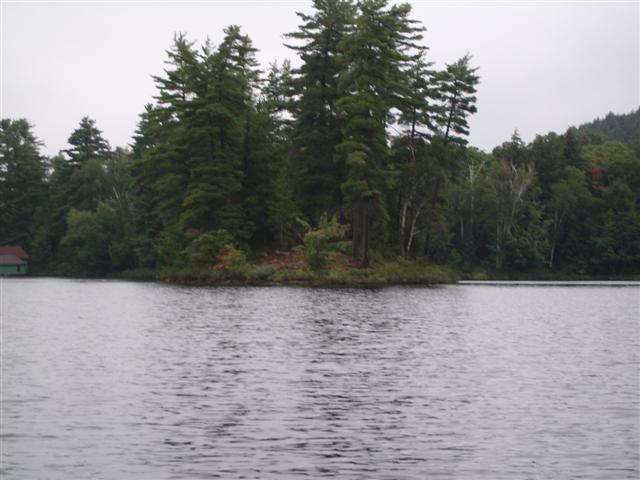
We approach a small island where we dock and stretch our legs.
The shoreline exhibits what appears to be a water level some six feet above the current lake surface.
Here is a closer look at what I take to be a water line; the growth on the trees is set so precisely above the current lake level.
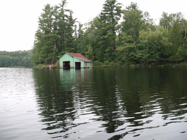
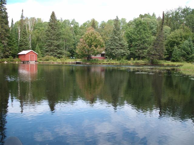
We spot a boat house that just begs to be painted.
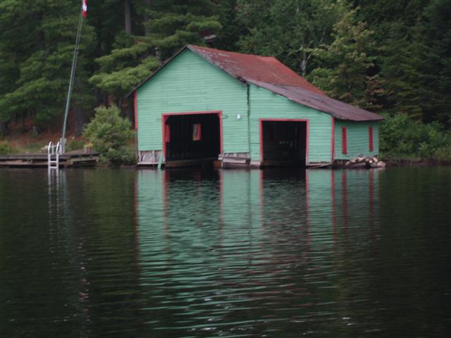
Also looks like it needs a new roof!
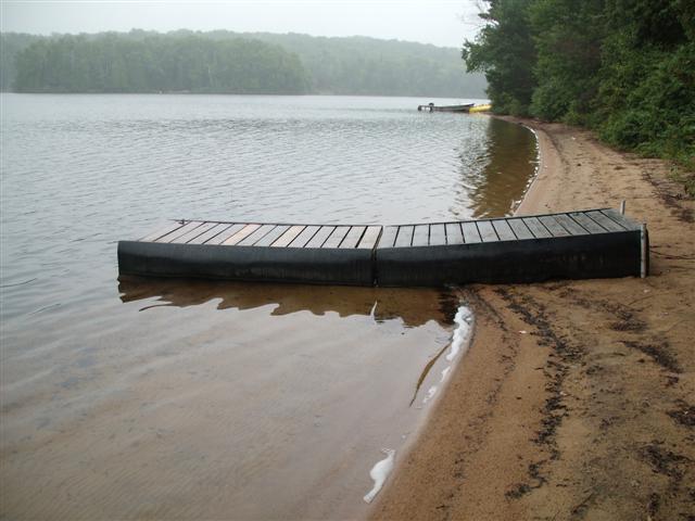
And so we make our way back to our launch point. That’s the small floating dock just to the left of the center of the photo.
During our leg-stretch we decide to head up the northern end of the lake. I spot a communications mast on the ridge above the west side of the lake.
One last look at the tree-lined southern end of the lake.
And the reedy bay immediately to the left of our launch point.
And off we go, paddling comfortably. We begin to move back into the populated and recreational area.

We spot the larger of the two bridges, this is the one to the west. Were we to paddle under this bridge, we would find ourselves at Algonquin Outfitters .
I am impressed with the number and length of the sandy beaches. Some description can be found at http://nhic.mnr.gov.on.ca/MNR/nhic/areas/areas_report.cfm?areaid=4939
This is the lakeside view of the public ramp, some 0.7 KM north of the end of the Harris Road.
We head up towards, and ultimately pass, Windy Point.
We search for the mouth of the Oxtongue river as it empties into Oxtongue lake from the north. To the right, and on the far side of the reed bank, we spot a couple of large power boats tied up. There’s a clue!
We draw closer and can see that they are sitting in the river. We want to head upstream to the launch point at the eastern of the two bridges of highway 60.
Fred tells me that with my coat over my life vest I look like the hunchback of …
“What did you just say?”
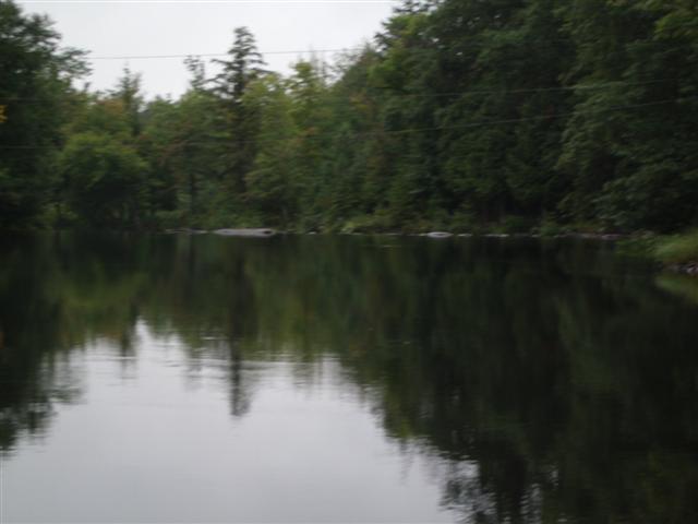
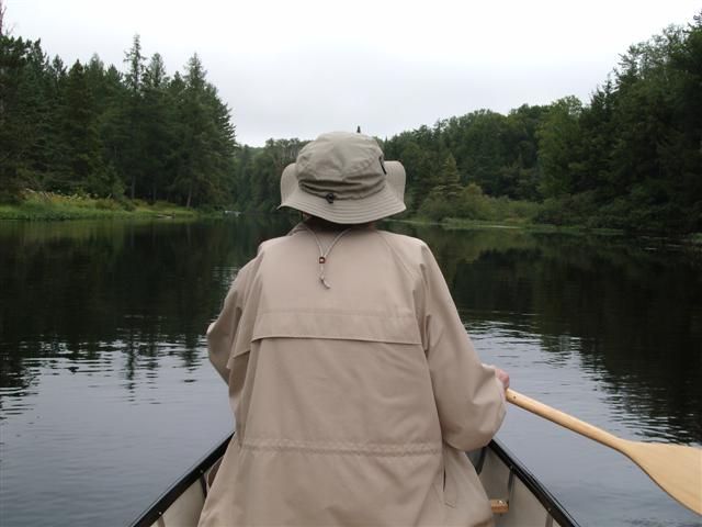
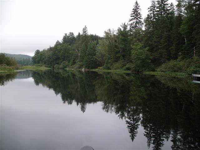
On up the river. The air is calm, the water calm. Those ripples are our ripples.
Always along the banks, trees, shrubs, moss, beds of pine needles.
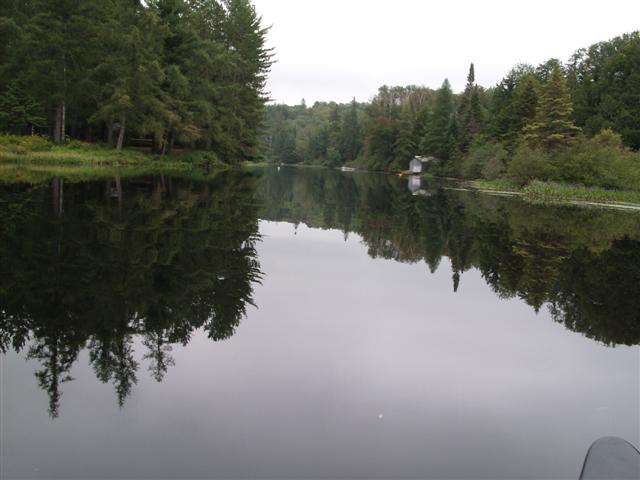
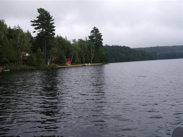
Glass-like reflections. On this stretch of the river the cottages are discreet, and not so gaudy. We are almost past some of them before we realise it.
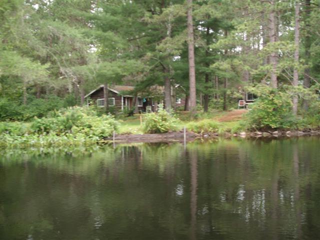
Log cabins abound. No sign of activity. Both Fred and I had anticipated last-week crowds of excited children and parents. Instead it was as if we had Muskoka all to ourselves.
We paddle on up the river, enjoying every bend and each peaceful scene.
Every now and then a silt island appears. We glide silently by it …
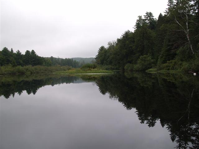
… and there is no complaint.
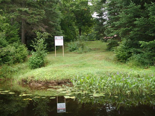
We spot cottages for sale. Fred says these would be lower-priced than lake shore cottages. River side cottages do not fetch a premium. I wouldn’t care. A lawn sloping down to the banks would do me just fine!
We cross beds of reedy grass. By now we detect quite a current, so we are well above the level of Oxtongue Lake.
Here is a shot of the reedy grass, the lily-like vegetation, and the scrub which lines the banks. Perfect environment for otters or turtles.
It seems like hour-by-hour we pass up the placid river. It’s not hours, but time seems, as they say, to stand still.

Always the reflections.
We pass yet another beaver lodge. This is the fourth or fifth we have seen.
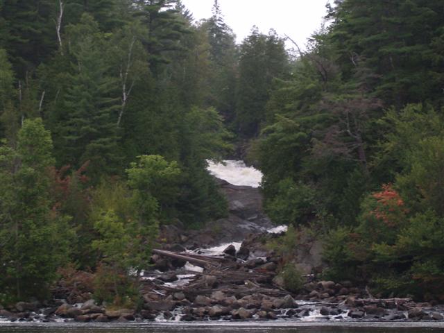
Now we see rafts of foam. I believe that this is a sure sign of a waterfall ahead.
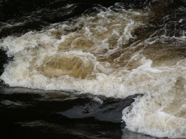
We round a bend and are greeted by a stupendous sight. We estimate the falls at over 50 feet. One website ( http://gowaterfalling.com/waterfalls/ragged.shtml ) hesitates a guess at 80 feet). Whatever! In the photo above you can see part of the upper falls, and some of the outflow across and through an apron of boulders. (They are not rocks; they are seriously-sized boulders!)
We paddle closer. Well, Fred paddles closer. I play the role of tourist and snap shots. This one is the left-hand edge of the apron, from the downstream approach.
Swinging further to the left I get a shot up the apron towards the central part of the falls.
We park the canoe and make our way, stepping-stone mode, across the apron. This is, of course, a shot of me after I’d slipped and landed on my wrist. More embarrassed than in pain, but that all changed later on in the day.
Fred turned around and took a shot of the canoe, beached under the apron.
Then we swapped positions.
The photos don’t do it justice. I’d just yelled at Fred above the roar of the water, to step back a bit further. Typically, he refused to oblige.
I decided to climb up the apron, and got almost to the foot of the upper falls. Here’s Fred, relaxing on a rock. Those are tree trunks on the right, not branches.
Same shot, using the zoom of the camera.
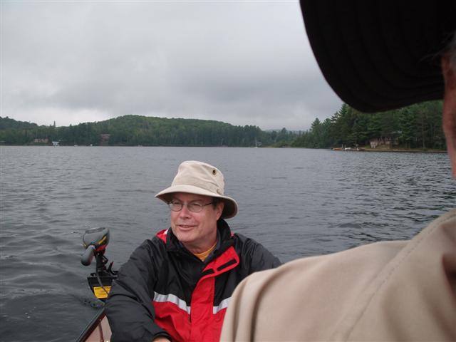
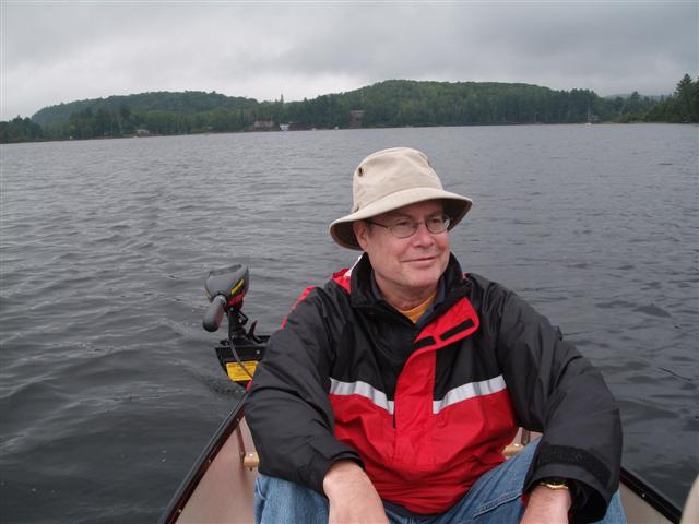
Then we hooked up our little trolling motor so that we could concentrate on the scenery on the way back.
The sky grew dark, and a light drizzle fell. We didn’t care. We were happy.
What can I say?
So far this day we had seen only two other canoes, and one of them at a distance. No motor boats at all on the lake or on the river.
Here we are about to leave the Oxtongue river as it empties into the northern end of Oxtongue Lake.
Closer …
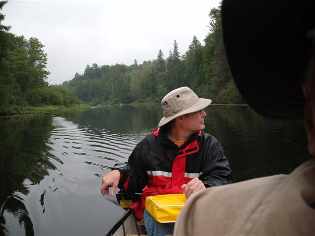
Fred pays especial attention to any logs or rock hazards up ahead.
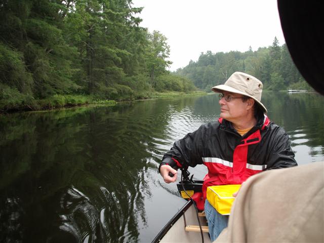
I said, “Fred pays especial attention to any logs or rock hazards up ahead.”
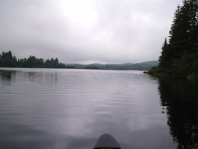
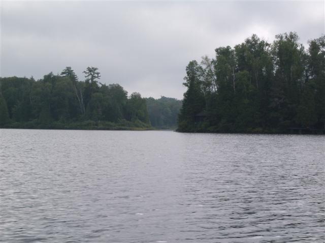
And we pass out into the bay.
… past the small deposit delta at the mouth of the river.
The drizzle intensified, but were we depressed? No!
The rain clouds passed largely to the west of us.
So we headed back towards Windy Point.
Towards Windy point.
Past Windy point. Not a great deal of work being done at this point.
Or at this point either. Fred is looking pretty smug, for some reason.
Our launch point is just around the cape, to the left.
One last look at the Oxtongue River as it leaves the southern end of the lake.
Here in map form is our general route from this day.
709 218 7927 CPRGreaves@gmail.com Bonavista, Friday, December 04, 2020 7:04 PM Copyright © 1996-2020 Chris Greaves. All Rights Reserved. |
|---|